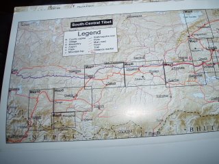
Here's a pretty sketchy map.
Day 1: Lhasa to just Left of the "G" of Gonkar... that's halfway up the Khumba La.
Day 2: From just left of the "G" of Gonkar to almost Nangartse, kinda halfway along the arm of the Scorpion Lake, Yamdrok Tso.
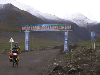
Day 3: To Nangartse
Day 4: Attempted to ride all the way to Gyantse, but didn't get there. Got 2/3rds of the way there and camped near the ruins/dam/explosive roadworks.
Day 5: From there to Gyantse.
Day 6: Gyantse to Shigatse... 100km time trial!
And that's where we are today (Day 7, rest day). The rest of the plan is:
Days 8-9: Shigatse to Lhatse, with a pass (Lagpa La 4500m) in between about 2/3rds of the way.
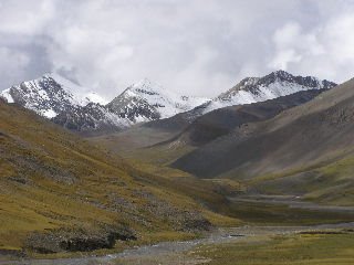
Days 10-11: Over the Gyatso La pass (hellish - 5200m) to turn-off to Everest Base Camp near Shekar Dz.
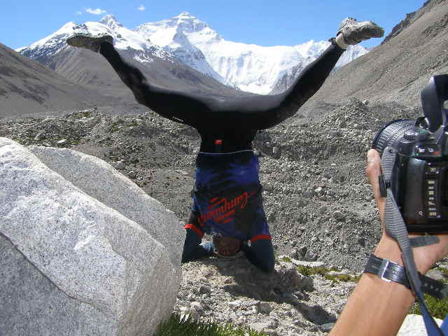
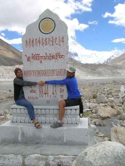
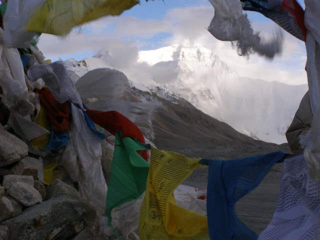
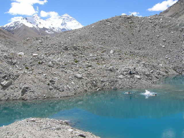
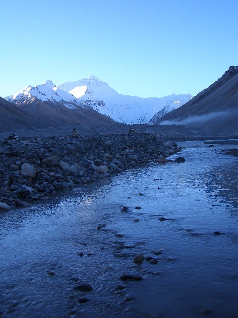
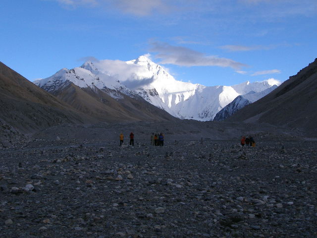
Days 12-13: Up to Rongphu (monastery) which is about 8km from Everest Base Camp. ?Stay the night at EBC.
Days 14-15: Make our way to Dingri, with 2 options.
Days 16-20: From Dingri to Kathmandu, down a
massive hill.
That's the rough plan.
We're getting out of here... this internet cafe has too many smokers. Yewk.
Tim's talking about Google Earthing it... I haven't tried myself but I will when I get home!
m


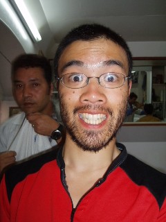
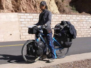 SungMan...from Korea...carrying about 4 tonne of gear....we lost him one day in tibet and hoped he was ok...but he turned up behind my shoulder as we were riding into kathmandu.
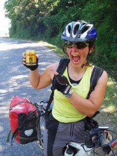


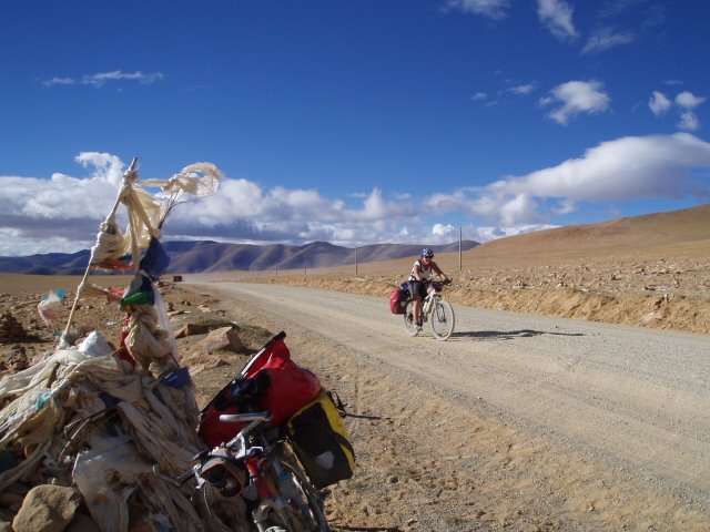
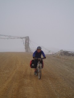


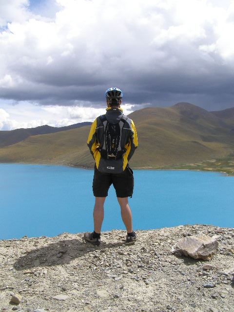

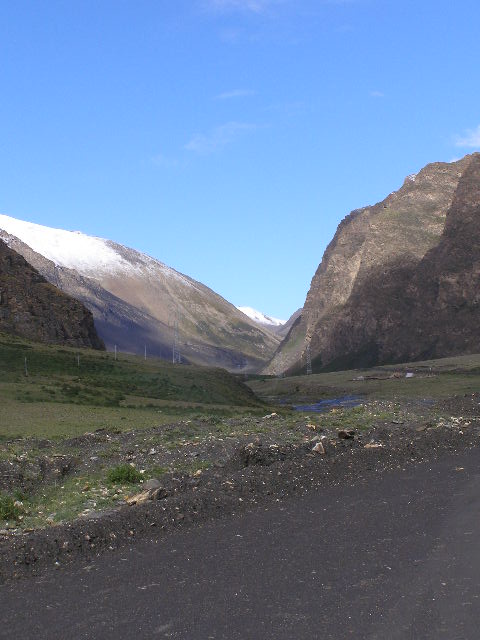
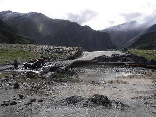
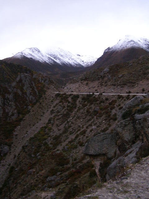
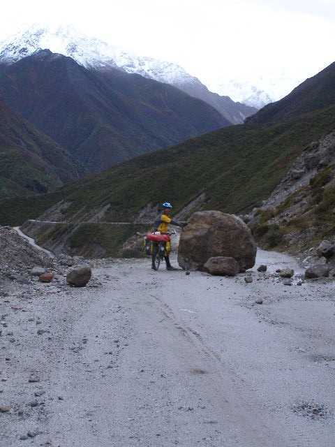
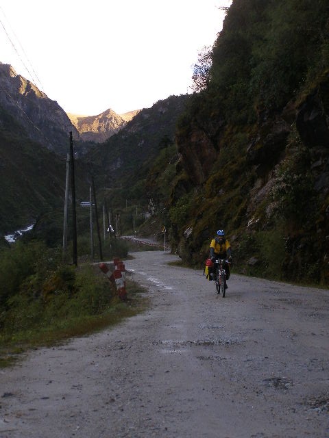
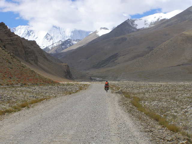
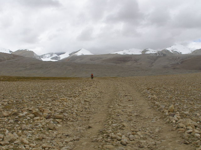
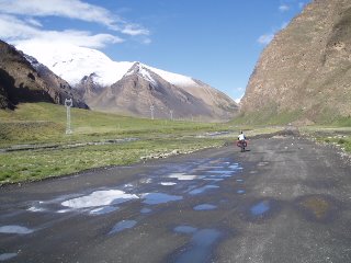 Awesome views going up the empty road, closed due to roadworks, up the Karo La (5050m). Here's Jen carving up the gravel. (Day 3)
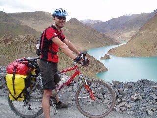
